


WINTER’S first major weather event Storm Austen is set to hit later today with several warnings.
These include intense rain causing flooding disruption and difficult travelling conditions.
Donegal is under a Status Yellow rain and wind warning along with the rest of Ireland from 7pm until 10am tomorrow.
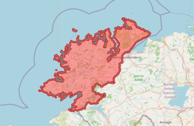
Donegal is under a new weather warning.
A Met Eireann spokesperson warned: “Heavy rain associated with Storm Austen will spread eastwards across the country.
“Strong easterly winds will back north-westerly and strengthen further, especially in the south and southeast.”
The national weather service urged the public to “be aware of potential impacts” including difficult travelling conditions, localised flooding, and impacts on outdoor events, due to “debris and loose objects displaced” plus “fallen trees and branches”.
Boats off Donegal have also been warned, with a small craft warning issued for all coasts of Ireland.
Met Eireann warned winds will “reach force 6 or higher at times” between today from 3pm to Saturday at 11pm.
Donegal County Council has also urged people to beware the potential impacts.
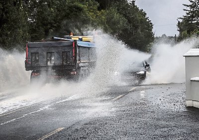
Met Eireann has warned of Storm Austin flooding and road dangers, as pictured here yesterday (Wednesday) in Donegal. Photo: Brian McDaid.
STATUS ORANGE
The national forecaster has not yet extended its Status Orange warning northwards beyond Dublin.
When the Status Orange warning for “intense rain associated with Storm Austen” was issued, it was applied only to six counties – Cork, Dublin, Kerry, Waterford, Wexford, and Wicklow – at times staggered from today at 10pm until tomorrow at 8am.
Met Éireann meteorologist Mark Bowe warned that people are “likely to see very difficult travelling conditions and localised flooding throughout the country”.
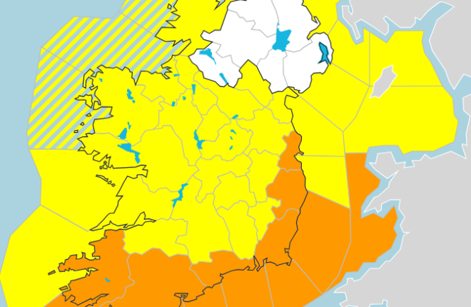
Met Eireann graphic shows Donegal under a Status Yellow warning.
STRONGEST WINDS
But he added that the bulk of the rain and the strongest of winds will be across counties south of Donegal.
He said: “We have upgraded [those counties] to Orange rainfall warnings for intense rain associated with the passing of Storm Austen that will lead to areas of flooding and very difficult travelling conditions.”
Senior forecaster Gerry Murphy urged motorists to look out for flooding due to “substantial” potential for flooding with leaves and blocked drains.
He said: “Water levels in some areas are not quite as high as perhaps some times during the winter.
“We are in the Autumn still and we have had a dry summer. But there is still the potential for some of the smaller river catchments for flooding to occur.
“And in places where there are leaves possibly gathered and causing blocked drains.”
The name for Storm Austen was submitted by Met Éireann in recognition of Austen H Nagle, who was the Irish Meteorological Service’s first director.