


MINISTER Jack Chambers has unveiled a stamp from An Post marking the bicentenary of ordnance surveying (mapping activity) in Ireland.
The first Ordnance Survey of Ireland in 1824 led to a series of six-inch maps of the country in unprecedented detail. The early work is visually stunning, with remarkable detail and fine calligraphy. The first map of the island was completed in 1846.
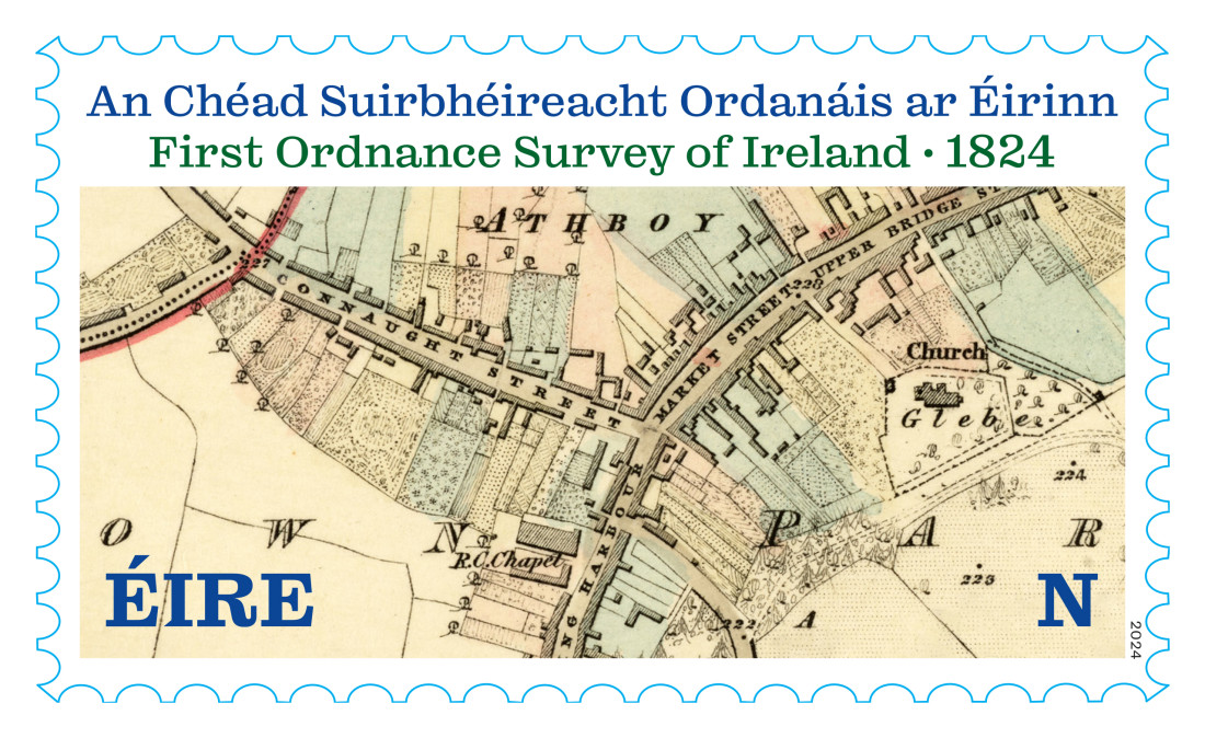
Now, An Post is marking the 200th anniversary of the first ordnance survey with a stamp designed by Max Phillips of Signal Type Foundry.
The stamp suitably features an 1836 map of Athboy in County Meath while the First Day Cover features the map in the style of a compass rose.
Speaking at the unveiling, Minister Chambers, said, “The new stamp is a fitting celebration of the original, ground-breaking national ordinance survey of 1824 and of the work done since then in charting Ireland’s changing landscape.”
Detailed mapping and the wealth of detail it contains remains central to our everyday lives in agriculture, commerce, planning, leisure and so much more.
Liam O’Sullivan, CEO of Tailte Éireann, said, “The exquisite detail captured in this 1836 map of Athboy is a testament to the remarkable work from the first Ordnance Survey of Ireland. Today, Tailte Éireann continues this vital mapping work using modern technologies.”
The team at Tailte Éireann are custodians of extensive archives, including a comprehensive record of land and property transactions from 1708, a manuscript archive containing rateable valuation information from the mid-1850s, and maps from the first Ordnance Survey in Ireland, established in 1824.
The original Survey, supervised by Thomas Colby and Thomas Larcom had value for taxation and military purposes. It examined townland boundaries, consulted Irish-language scholars on correct place names and has contributed to Irish scholarship since.
The surveyors used the most sophisticated mapping technologies then available, including concrete triangulation posts, some of which are still in evidence on Irish mountaintops today.
Tailte Éireann is an independent Government agency under the aegis of the Department of Housing, Local Government and Heritage.
The agency provides a property registration system, property valuation service, and national mapping and surveying infrastructure for the State.
The new ‘N’ rate stamp, suitable for postage on the island of Ireland, is available to buy in selected post offices and online at www.anpost.com/shop